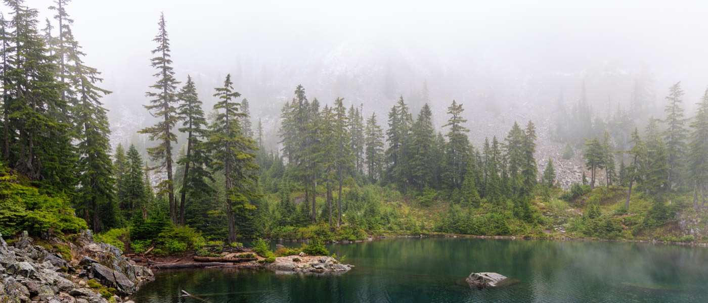
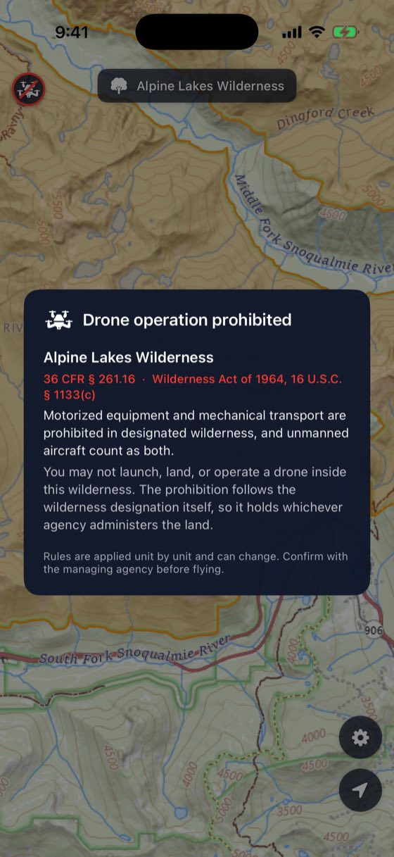
Wilderness boundaries don't come with a fence. Keep Wild draws them on your phone, so you know the moment you've wandered into a National Park or a Designated Wilderness — and your drone knows to stay in the bag. No signal required.
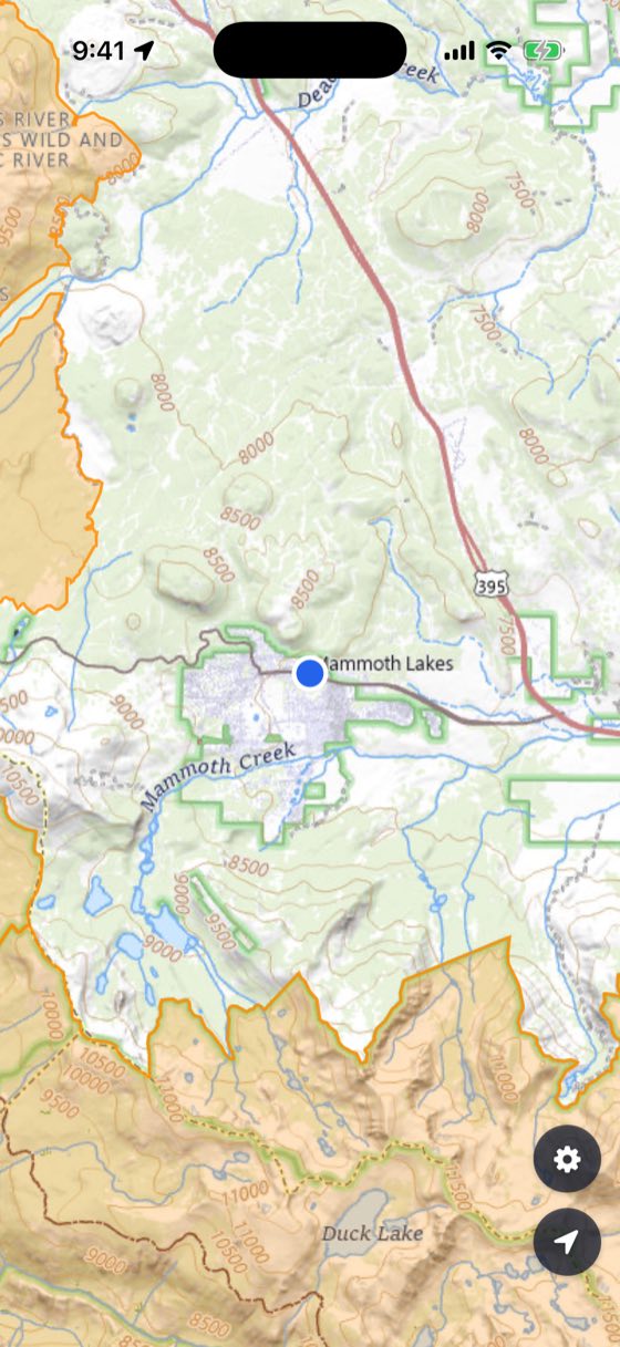
Keep Wild never says "go ahead". It says "not here". Blank ground isn't cleared ground; it's just ground with no park or wilderness on it. Airspace and LAANC, active TFRs, and whatever the state, county or tribe has to say about it are all invisible to this app. Those stay your homework, every single flight.
What you actually see
What it's for
Drawing invisible lines
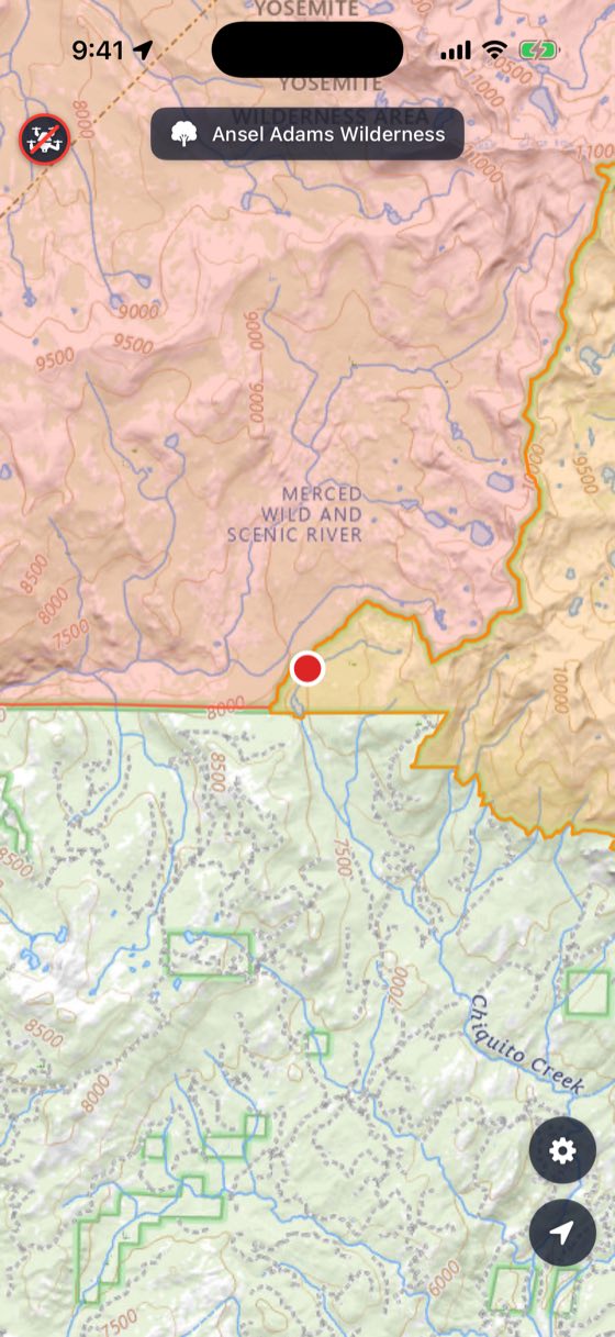
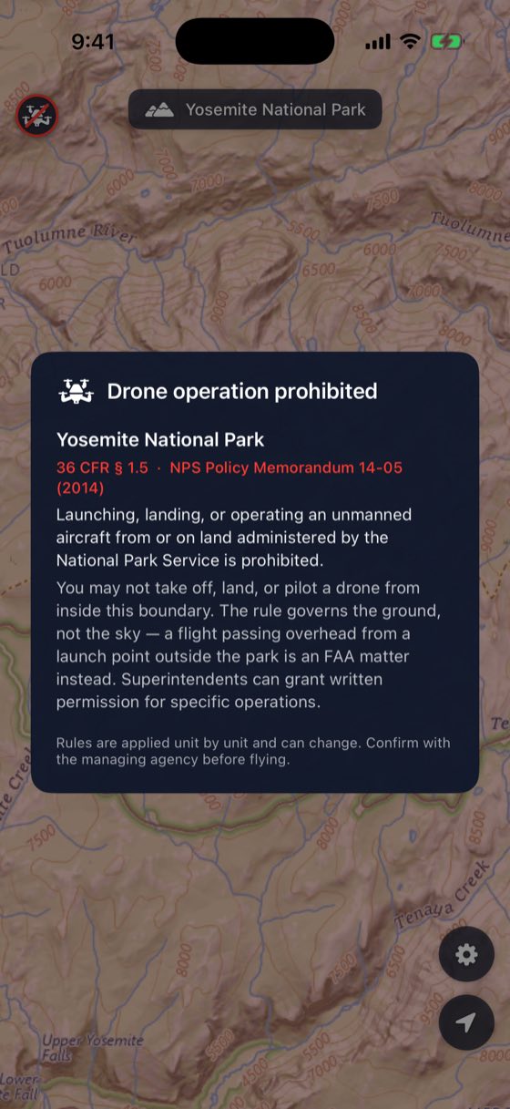
National Parks and Designated Wilderness don't come with fences. Keep Wild shades them onto the map, names the ones you're standing in, and shows you the actual rule that closes them.
Boundary hunting
Walk towards an edge with the map open and watch for the exact step where you cross it — the dot flips colour. Oddly satisfying, and it teaches you far more about where protected land really starts than a trailhead sign you half-read on the way past.
Settling it, politely
Come across someone unpacking a drone in a National Park and you can show them where they're standing, then tap straight through to the regulation. A citation argues better than you do.
Going properly offline
Download a state before you set off. Map and boundaries come down together, so the lines are still there at the trailhead where your bars aren't.
Stopping there, on purpose
Two kinds of protected land, and nothing else. Keep Wild has no opinion about airspace and shows no green light, because it hasn't earned one. Silence isn't an answer — it's the absence of one.
Why these places are closed to drones
| Area type | Governing body | Basis |
|---|---|---|
| National Park units | National Park Service | NPS Management Policies 2006 §8.2.3 — launching, landing or operating a drone requires a Special Use Permit, which is nearly always denied for recreational flights. |
| Designated Wilderness | USDA Forest Service, BLM, FWS, NPS | Wilderness Act of 1964 — motorised equipment is prohibited, and drones are treated as motorised equipment. |
Those are the two colours on the map. Anything shaded is somewhere the drone stays packed.
The conversation nobody wants to have
Sooner or later you round a bend and there's someone unpacking a drone in the middle of a National Park. Usually they have no idea. Occasionally they are extremely confident they're fine.
Being the one who says something is nobody's idea of a good afternoon, so Keep Wild tries to make it a ten-second job rather than a debate. Show them the screen — they're standing in the shaded bit. Tap the marker and there's the rule itself, quoted with its citation, not paraphrased and not your opinion.
Which is really the other half of the point. Every drone that stays in its bag is one less reason for the next round of restrictions.
Where the data comes from
Everything Keep Wild draws comes straight from public US federal services.
| Data | Source |
|---|---|
| Basemap | U.S. Geological Survey — The National Map |
| National Park boundaries | National Park Service |
| Designated Wilderness boundaries | USDA Forest Service |
The lines are only as good as the agencies' own data. Close to an edge, treat the boundary as a rough guide — GPS error and boundary error stack up. Give it a wide berth.